- Printed on Polypropylene (plastic)
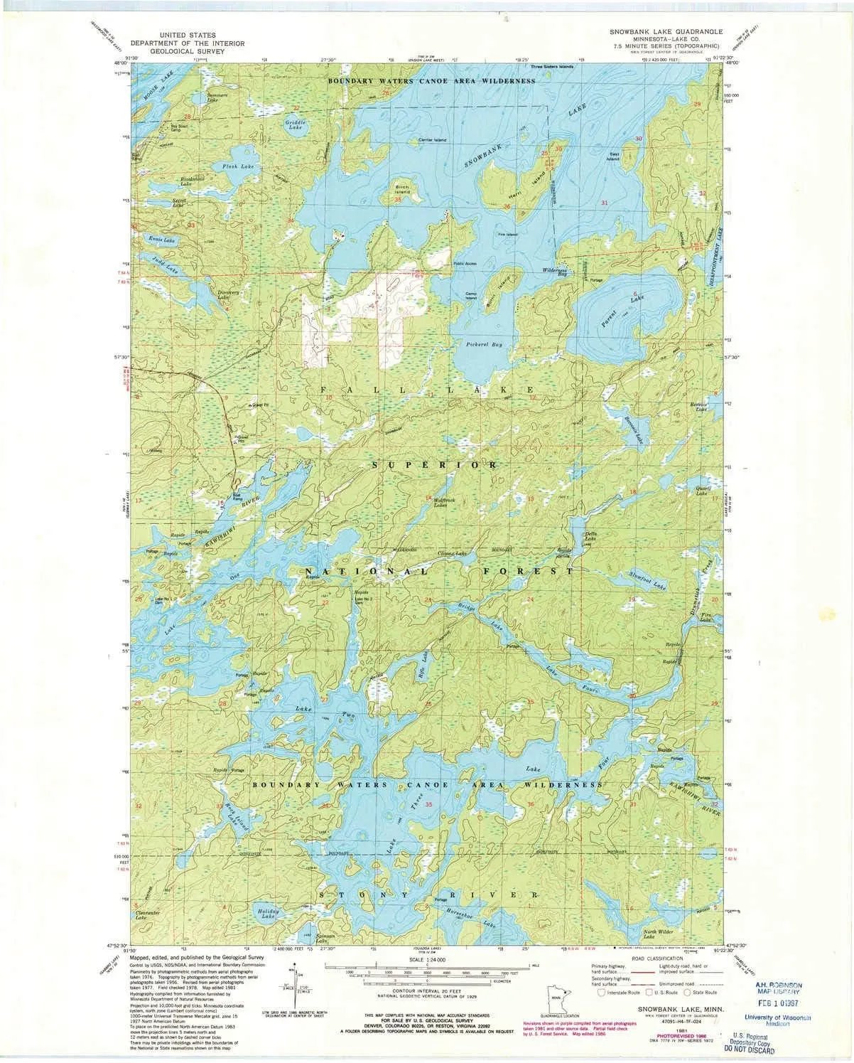
- USGS topographic map of Snowbank Lake, MN, at 1:24000 scale. Heavier material. Waterproof. Tear-resistant. Foldable. Perfect for the outdoors.
- Cities, towns, villages: Please see map preview to find populated places, townships, as well as roads and street names if available.
- Islands: Fire Island,Harri Island,Birch Island,Camp Island,Burnt Island,East Island,Center Island
- Parks and forests: National Parks, National Forests, etc. Please preview map image for specifics.

 Compliance-certified Tent Pegs Duty the Heavy Dark Tent Steel Gear in Camping Stake (4 Anchor Glow Multi-functional")


")


