- Provides detailed digital topographic maps, comparable to 1:24,000 scale USGS maps, for North Dakota, South Dakota, Minnesota, Nebraska, and Iowa
- Contains detailed hydrographic features, including, coastlines, lake and river shorelines, wetlands and perennial and seasonal streams
- Provides elevation profile on compatible Garmin devices so you can estimate terrain difficult
- Contains many routable trails, rural roads, city neighborhood roads, major highways and interstates
- Displays national, state and local parks, forests, conservation areas, wilderness ares, Bureau of Land Management (township, range, and section) information, and USGS quad locations
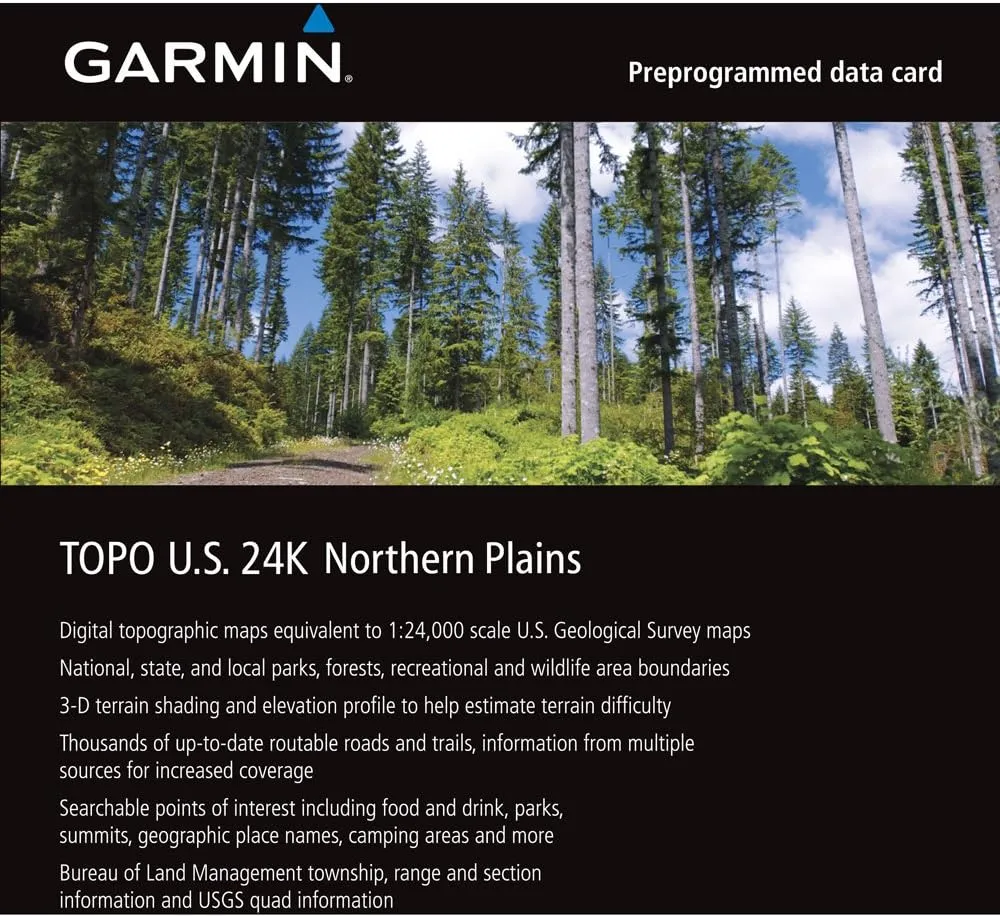
Outdoor enthusiasts: your adventure is waiting - in vivid detail. TOPO U.S. 24K - Northern Plains brings you the highest level of topographic detail available, with maps comparable to 1:24,000 scale USGS maps. These highly detailed maps include terrain contours, topo elevations, summits, routable roads and trails, parks, coastlines, rivers, lakes and geographical points - and they also display 3-D terrain shading on compatible devices. TOPO maps are ideal for hiking, hunting, camping, cycling and communing with nature. Coverage includes topographic detail of North Dakota, South Dakota, Minnesota, Nebraska and Iowa.

")


")

